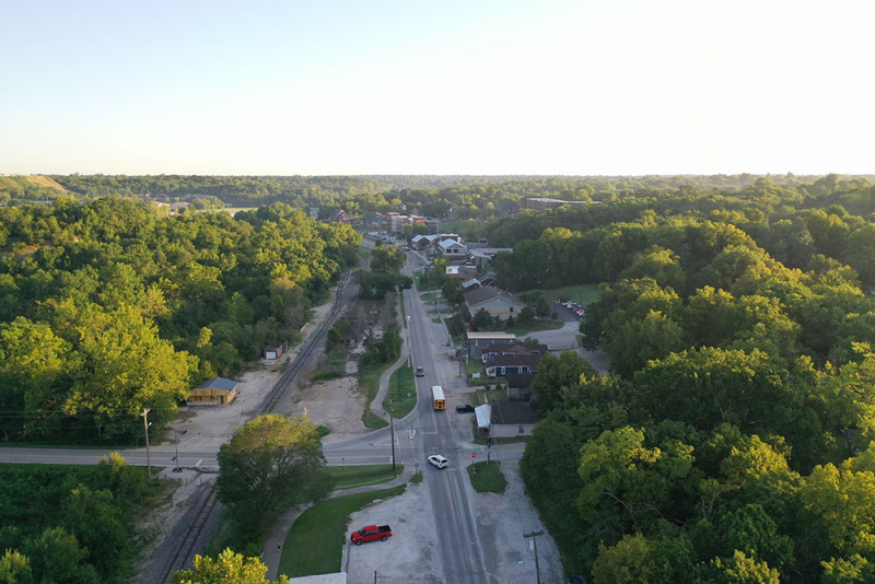
At its Oct. 21, 2019 meeting, City Council adopted the Planning and Development Department’s recommendations for future development in the Galloway area. The report will serve as the policy document for development in the area (see map within report) and will be used in reviewing applications for rezoning and subdivisions. The boundary for this policy as originally drafted includes gateways into the study area at the intersections of Battlefield Road and Republic Road with Lone Pine Avenue, and approximately 300 feet of frontage along Lone Pine Avenue between Battlefield and Republic.
“For those of you who did not get to see Council tonight, our recommendations from the administrative delay were approved by Council. Thank you so much to each of you who took surveys, wrote notes, and gave feedback. Democracy does not function if we do not show up and I am so proud of my neighborhood for doing just that. You guys rock!,” said Tanya Vaughn, on the Galloway Village Neighborhood Association Facebook page.
“It was a great night for Galloway at City Council tonight! The vote was 7-2 in favor of the recommendations … We will continue to bring awareness to the unique issues with excessive development in our neighborhood but this is a huge win for us tonight. Great job to everyone who helped on this project,” said About Faces Photography owner Wendy Huscher, who served on the stakeholder committee, on the Galloway Village Neighbors Facebook group page.
Public engagement for the Galloway recommendations was led by Senior Planner Olivia Hough, who hosted six stakeholder meetings and three public input meetings. The process also included two public surveys.
“On behalf of our association, I want to publicly acknowledge Olivia and what a blessing she has been to us through this whole process. Her advocacy, willingness to listen and ability to pull together her peers for a very collaborative process, has been refreshing,” said Marcie Kirkup, Galloway Neighborhood Association president.
Background
In 2014, Springfield City Council adopted a blight study and redevelopment plan for the area north of East Lacuna Street and south to East Republic Road along the 3400 to 4100 blocks of South Lone Pine. Since then, development along the Lone Pine corridor from Battlefield to Republic Road has intensified. The unique topography of the area, along with increased retail and residential multifamily development has brought to light a variety of development issues.
After meeting with interested parties last fall, Zone 4 Councilman Matthew Simpson requested a resolution for an administrative delay for rezoning and lot combinations in the Lone Pine corridor so that City staff could review development issues in the area, gather input and develop recommendations.
The boundary for this policy as originally drafted includes gateways into the study area at the intersections of Battlefield Road and Republic Road with Lone Pine Avenue, and approximately 300 feet of frontage along Lone Pine Avenue between Battlefield and Republic. The Planning and Zoning Commission reviewed this report on Aug. 15, and recommended 8-0 to remove the southeast and southwest corners of Battlefield Road and Lone Pine Avenue from the policy boundary.
The commission voted 4-4 to recommend approval of the policy as amended. The commission’s Rules of Procedure dictate a tie vote results in tabling the measure. On Sept. 12, , the commission voted 3-4 to recommend approval of the amended policy. Because fewer than five votes were cast in favor or denial of recommending the policy, it was again tabled. According to the commission’s Rules of Procedure, a policy matter may only be tabled three times. If it fails to receive five affirmative or negative votes, it is sent to Council with a negative recommendation. On Oct. 10, the Planning and Zoning Commission voted 3-4 to recommend approval of the measure. Since this was fewer than five affirmative votes, the measure was forwarded to City Council with a recommendation to deny the proposal.
According to the explanation to the council bill, the City’s highest priority must be public safety for pedestrians, cyclists, and motorists in the area. Many of these recommendations are for transportation improvements, which may be both publicly and privately funded, but all public improvements receive City approval prior to construction. Environmental protection is another key priority for the City and the public. Protection of the natural environment will require City regulations and use of best practices in public Page 3 of 22 237 and private improvements. The Galloway area has several unique features such as its extensive tree canopy, rocky sloped topography, and historic mixed-use development pattern. Our image enhancement recommendations help guide public improvements and private developments to preserve the defining characteristics of the area while allowing for continued growth of the area.The report concludes with general recommendations that have multiple responsible parties for implementation and rely heavily on community participation.


