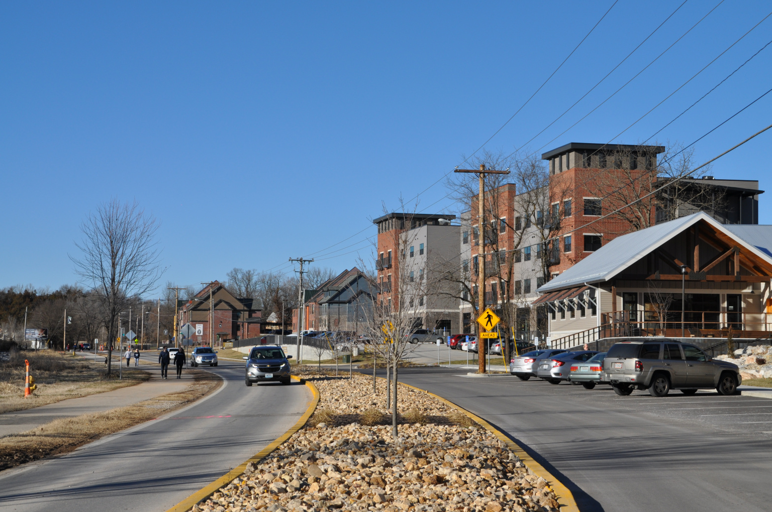
After six stakeholder committee meetings, three public input meetings and two surveys, the City of Springfield’s Planning & Development staff presented its recommendations for the future of the Galloway area to City Council at its July 23 Council Lunch Workshop. Once a final version of the report containing the recommendations is reached, City Council is expected to adopt it as a policy document this fall.
Common themes and concerns collected from the public input meetings and surveys included:
- Traffic and pedestrian/cyclist safety
- Preserve and protecting the natural topography and amenities in the area
- Support the Ozark Greenway trails
- Expand and enhance Sequiota Park
- Protect the quaint and unique village atmosphere
- Consider implementing architectural design guidelines and land use restrictions
- Prioritize citizen/resident concerns when evaluating development projects.
“The public engagement process itself has been of great value. We estimate more than 500 people have participated in providing input over the past six months,” said Senior Planner Olivia Hough. “Although there’s been controversy over the level of development that should occur, we have had an overall positive response to this engagement effort, and many common goals for the area have been established. It has been great to see how many people love Galloway and are committed to helping shape its future in our community.”
Staff recommendations include:
- Improvements to promote pedestrian cyclist and vehicle safety
- Installing a physical barrier or fencing between the Ozark Greenway trail and roadway and define parking along Lone Pine with a visual barrier.
- Improvements to Galloway Street
- Intersection improvements and crosswalks
- Conduct a flooding study in the area to determine stormwater improvement needs.
- Protection of natural resources and environment
- Encourage developers to consider stormwater best management practices
- Construct a stream buffer for Galloway Creek
- Encourage plantings on public property
- Explore a pilot tree preservation ordinance.
- Image enhancement
- Add restroom facilities, drinking fountains and seating areas to Sequiota Park
- Tree plantings, better maintenance and trail connections along the Ozarks Greenway trail
- Develop pocket parks along the trail
- Promote a high-quality streetscape experience through the use of:
- Decorative entrances – awnings, canopies, use of color, natural materials and artistic details
- Planters/window boxes
- Public art
- Pedestrian-scale lighting
- Fountains
- Site furnishings/seating
- Pet drinking stations
- Preservation of existing historical features
- Trash and recycling cans
- Bury utilities
- Encourage a mix of uses – retail, food and beverage, offices, services and housing
- Use conditional overlay districts in conjunction with rezoning cases to limit uses that are incompatible with village character, limit size, illumination, placement and number of signs. Prohibit digital signage.
- Encourage design elements compatible with historic development pattern and existing structures, including restrictions on glazing ratios, limit building height through bulk plane regulations, require parking lot placement behind buildings where feasible, require attractive landscaping.
- Use the Multi-Family Matrix to determine appropriate density.
- Limit excessive grading, rock blasting and limit retaining wall height to 8 feet and distance between tiers to 6 feet.
- Increase landscaping requirements and inspect projects for compliance.
- General recommendations
- Relationship building and inclusive communication
- Emphasize history and character
- Beautification and landscaping of future roundabouts planned for Galloway Street and Lone Pine.
Next steps
The next step in the process is to circulate the report for public comments and feedback. Once a final version is reached, City Council is expected to adopt the report as a policy document this fall. Once adopted, Planning & Development staff will then use the report when reviewing development proposals to make recommendations to City Council.
City staff will also consider city-wide issues such as land use, zoning recommendations and tree canopy preservation through the comprehensive planning process.
“At its core, the comprehensive plan is a guide for future land use, but it is also an opportunity to really dream about what we want our community to become,” said Planning and Development Director Mary Lilly Smith. “A community-wide comprehensive planning process should create a vision for what kind of city and community we want Springfield to be and establishing a path to make that vision a reality. In addition to guiding public infrastructure and investment, the comprehensive plan answers questions such as, ‘how do we focus our growth?’ and ‘what public policies will help us get there?’”
Background
In 2014, Springfield City Council adopted a blight study and redevelopment plan for the area north of East Lacuna Street and south to East Republic Road along the 3400 to 4100 blocks of South Lone Pine. Since then, development along the Lone Pine corridor from Battlefield to Republic Road has intensified. The unique topography of the area, along with increased retail and residential multifamily development has brought to light a variety of development issues.
After meeting with interested parties last fall, Zone 4 Councilman Matthew Simpson in requested a resolution for an administrative delay for rezoning and lot combinations in the Lone Pine corridor so that City staff could review development issues in the area, gather input and develop recommendations. The resolution was passed in November 2018. The 270-day development moratorium expires Aug. 2.


